Trails, Routes & More
Find mountain trails, paved city pathways or off-road adventures.
From 10 minute strolls to 10 day excursions…
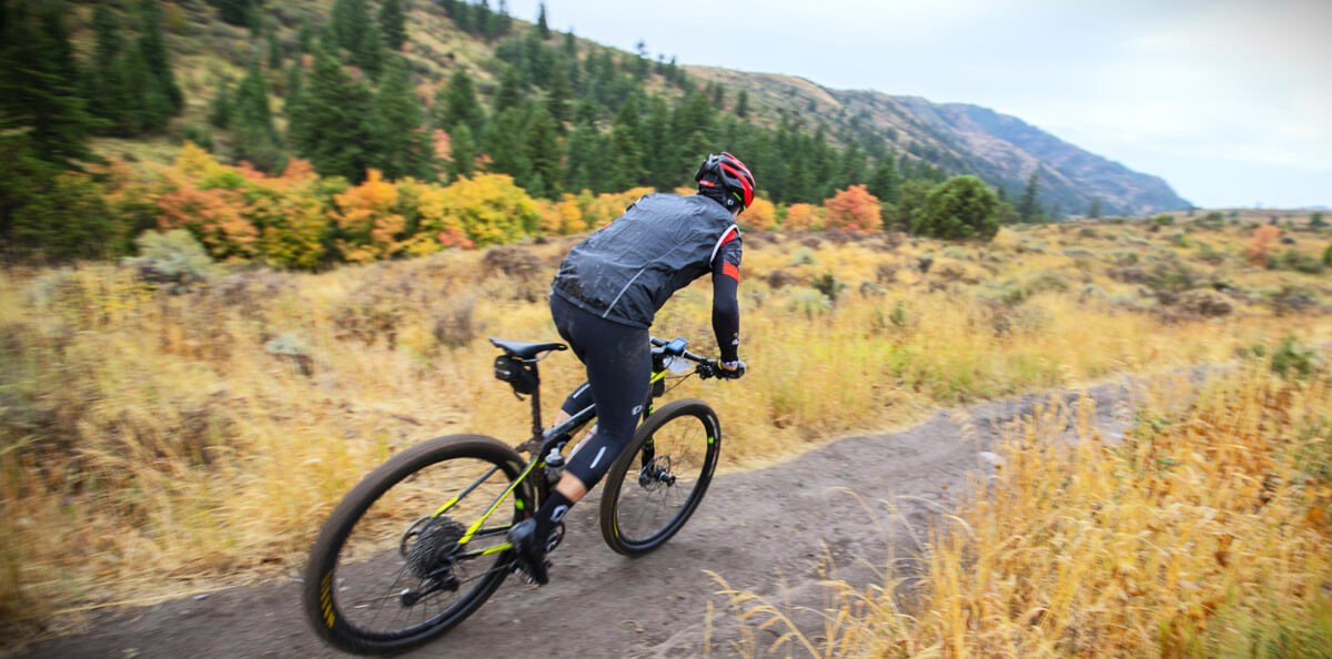
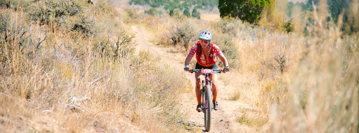
There are over 1,000 miles of recreational maintained trails and pathways around Pocatello & Chubbuck for hikers, bikers, horse and ATV riders, and explorers of all ages and abilities. Numerous trailheads around town are portholes to the vast, rolling foothills of the Rockies and backcountry this area is famous for. Snowshoers, snowmobilers and XC Ski buffs know their patience pays off big-time when these trails turn white.
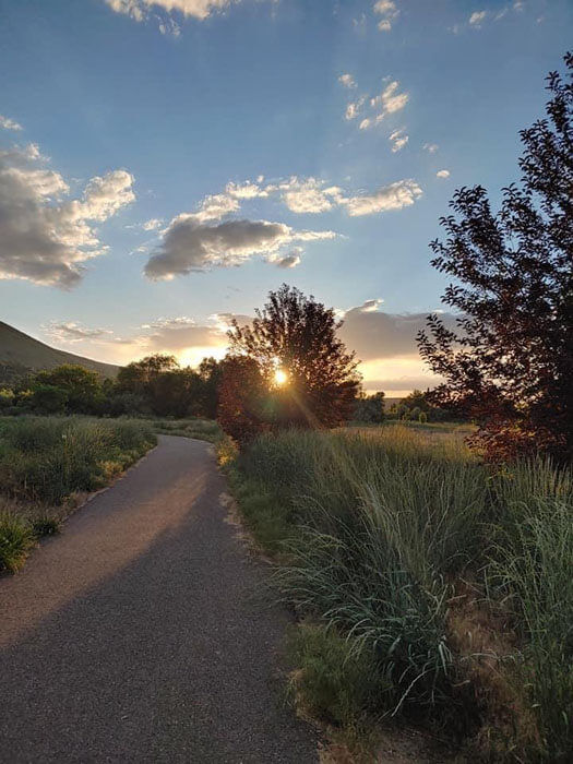
Discover the Portneuf Greenway
Find Trail Maps Online
Rent Outdoor Gear
- 4 Fun Rentals Garrett Way Pocatello, Idaho, 83201 (208) 705-0458
- Pocatello Powersport 2523 Pole Line Road Pocatello, Idaho (208) 232-8100
- Switchback Motors 150 Park Lawn Ave Pocatello, ID 83202 (208) 238-1575
- Barries Ski & Sport – Rentals 624 Yellowstone Avenue Pocatello, Idaho (208) 232-8996
- East Fork Bike 346 North Main Street Pocatello, Idaho (208) 220-3419
- Oregon Trail Bikes of Pocatello 216 North 2nd Avenue Pocatello, Idaho (208) 251-0751
- ISU adventure Center Pond Student Union, S. 8th Ave., Pocatello, ID 208-282-3912
- City of Pocatello Outdoor Rec Rentals Community Recreation Center: 144 Wilson Avenue Pocatello Idaho (208) 234-6237
- Idaho State University Outdoor Rentals 1065 Cesar Chavez, Pocatello, Idaho (208) 282-3912
- Portnuef River Rentals (208) 339-6484
- YAKSUP Rentals (208) 380-8333
- Barries Ski & Sport – Rentals 624 Yellowstone Avenue Pocatello, Idaho (208) 232-8996
- East Fork Mink Creek Nordic Center Rentals Offices: 144 Wilson Avenue Pocatello, Idaho (208) 234-6237
- Idaho State University Outdoor Rentals 1065 Cesar Chavez, Pocatello, Idaho (208) 282-3912
- Pebble Creek Ski Area – Rentals 3340 E Green Canyon Rd. Inkom, Idaho (208) 775-4452
Pocatello E-biking Video!
Download a Map
- Alternative Satellite CCMA Trail Map
- West Side North ATV Trail Maps (Pocatello, Lava, Inkom)
- City Creek Trail System
- Gibson Jack Trail System
- Mink Creek Trail System
- Satterfield Trail System
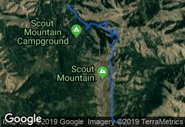
- Scout Mountain Trail System
- Soda Springs ATV Trail Map
- Montpelier/Bear Lake ATV Trail Map
- West Side North ATV Trail Maps (Pocatello, Lava, Inkom)
- West Side South ATV Trail Maps (Malad, Downey, Clifton, Oxford)
Grab a Map in-person
Printed trail maps available at all area Forest Service offices M-F.
Westside Ranger District
4350 Cliffs Drive
Pocatello, ID 83204
(208) 236-7500
Soda Springs Ranger District
410 East Hooper Ave
Soda Springs, ID 59758
(208) 547-4356
Westside Ranger District
195 South 300 East
Malad, ID 83252
(208) 766-5900
Montpelier Ranger District
322 N. 4th Street
Montpelier, ID 83254
(208) 847-0375
Idaho is full of adventures for everyone. When you visit, please act as a good steward of the land and practice responsible recreation.
Idaho is full of adventures for everyone. When you visit, please act as a good steward of the land and practice responsible recreation.